

Aerial Drone and Mapping Services
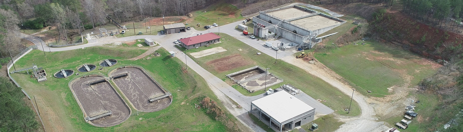
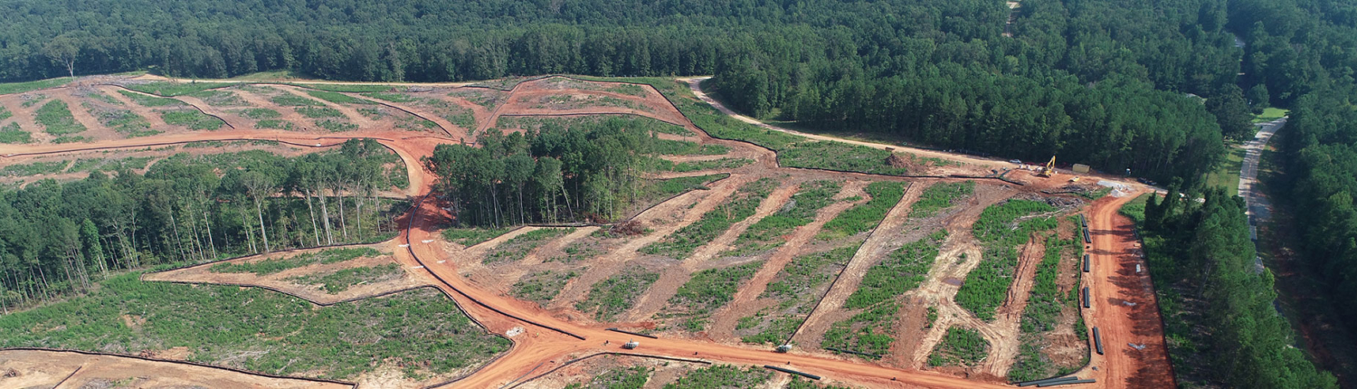
This service is a planning and rehabilitation tool for our clients. Simply, where is the infrastructure in the ground? If repairs to pipes or expansion of the existing irrigation system are needed, this may save a tremendous amount of time and money. Or if new fields are planted, drone work with mapping may assist with orchard and infrastructure layout. The aerial photos, videos, and digital maps created through the use of our drones can benefit private property owners, farmers, utility owners, and developers to better understand their assets and make better informed decisions.